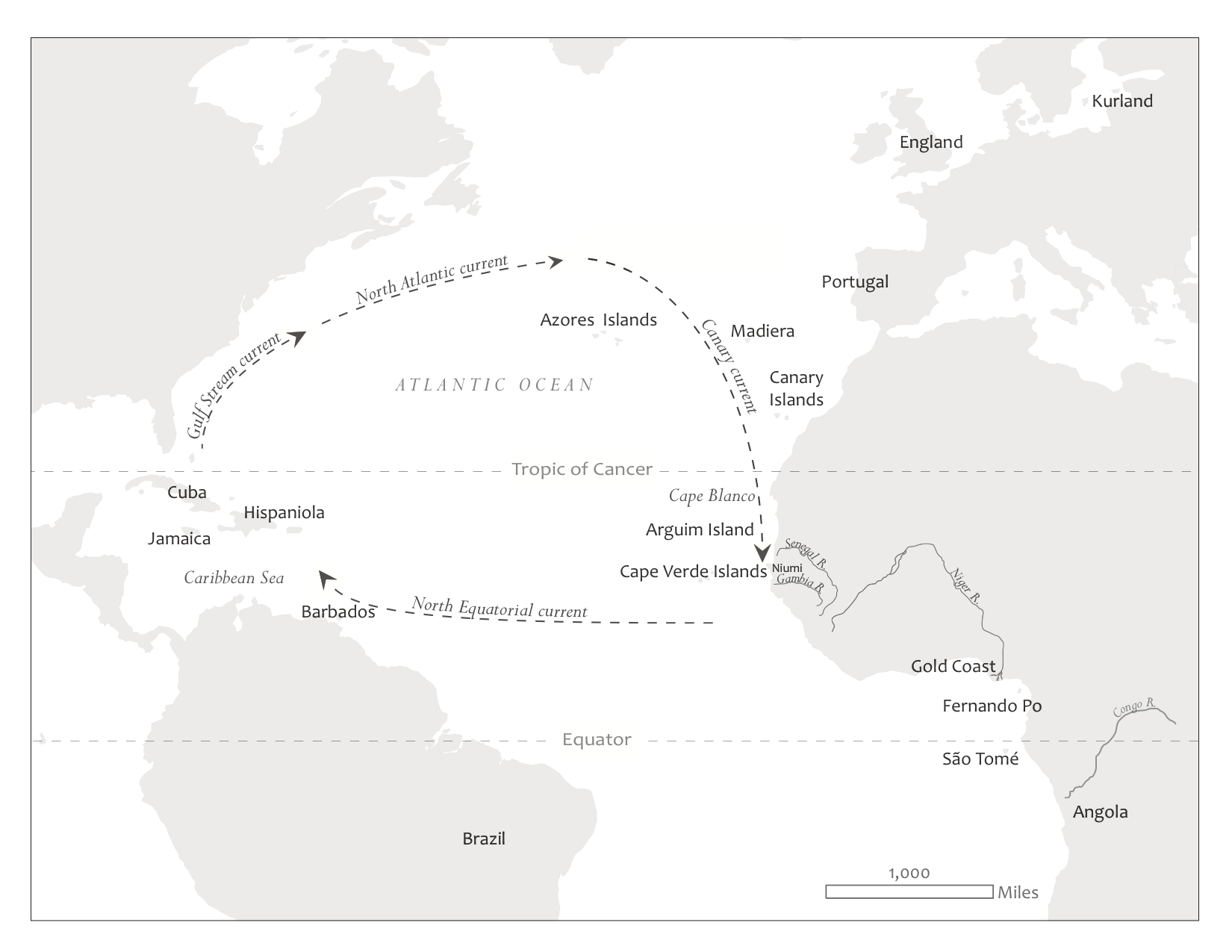
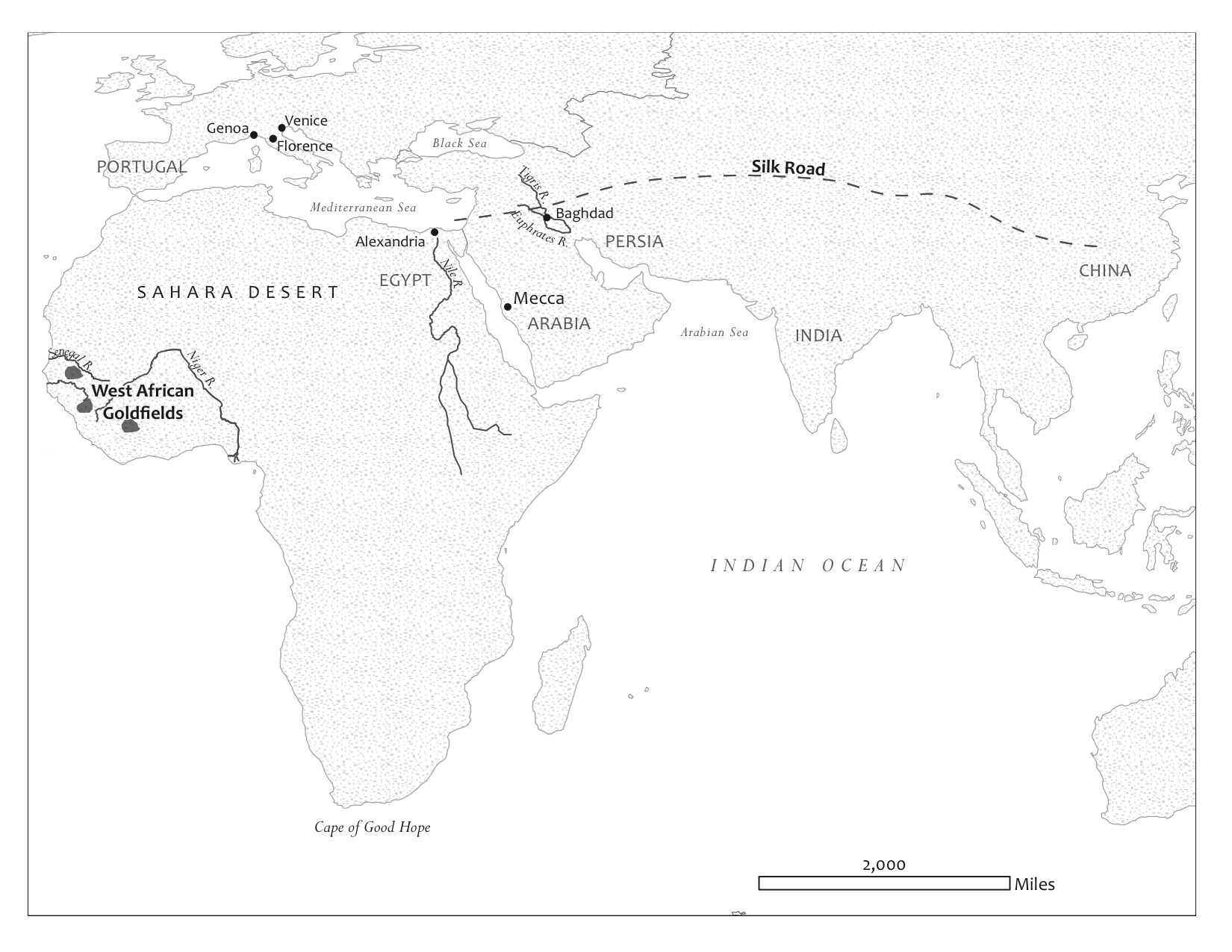
This is a project I did for Don Wright of SUNY-Cortland. He is currently working on an updated edition of his book The World and a Very Small Place in Africa . His editors all agreed that the book's maps needed to be updated, so he asked me to redesign the existing hand-drawn maps for better legibility.
Ten maps were recreated, using Adobe Illustrator, Photoshop, and Natural Earth Data. Some of the boundaries and trade-routes were non-existant and had to be manually drawn. Time-consuming, but worth it in the end!
Below are two examples of the maps I created.