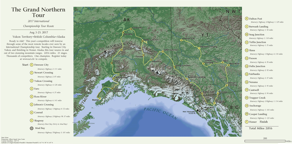
This was my first attempt at terrain representation. I created this map for an advanced cartography class at UW Madison. The challenge was to devise a 2,000 mile bike route over a backdrop of realistic terrain. I'm not sure I totally succeeded, but this was one of the most fun projects I've worked on and it definitely sparked an interest in trying to hone the art of terrain mapping.
All data was processed in ArcGIS, and then Photoshop was used to drape landcover over a hillshade layer. Vectors were then overlaid using Illustrator. It goes without saying that making this map really made me want to explore the Yukon.
GIF version available here.